Sensing the world,
changing the future.
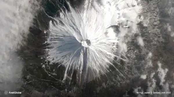
AxelGlobe, powered by our proprietary satellites, monitors the entire world at 2.5m resolution to help anyone make smarter decisions.
Contact us and we will work with you in providing the best solution and competitive pricing.


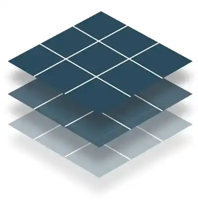
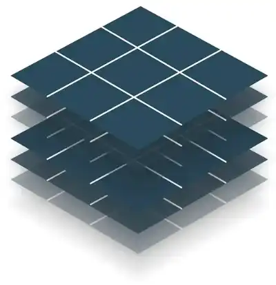
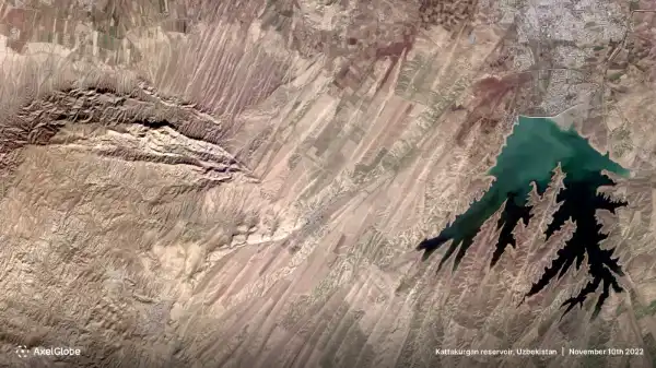
AxelGlobe, powered by our proprietary satellites, monitors the entire world at 2.5m resolution to help anyone make smarter decisions.


We enable multiple imaging options for single and multiple areas of interest on a monthly basis. High frequency observations of any place on earth can be provided for both the short and long-term.

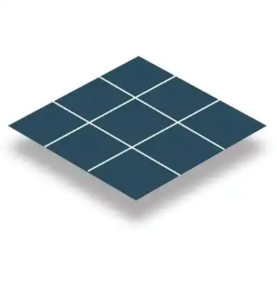
We commit to a flexible one-time imaging of your area of interest. Anyone can easily request a capture of one or multiple locations within a selected range or period.


Don’t worry, we will help you get started. Take a look at getting started guides to develop your basic knowledge and choose a topic from below to fit your interest.
Explore the basics of visualizing and managing GRUS-1 satellite imagery through this beginner's guide
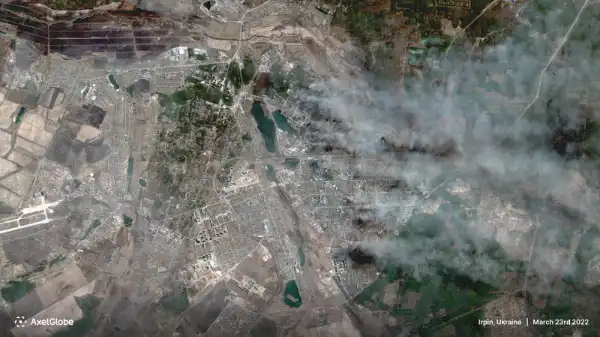
Read moreLearn how you can efficiently detect and observe forest cover changes over time through GRUS-1 imagery analysis
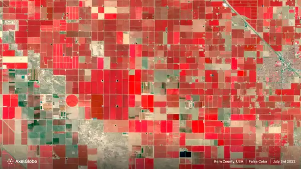
Read moreDiscover how GRUS-1 imagery analysis can help reduce cost and time in managing and monitoring crop health and growth
Read moreSign up for free to get instant access to our demonstration area or contact us to further clarify your questions.
Sign up for free